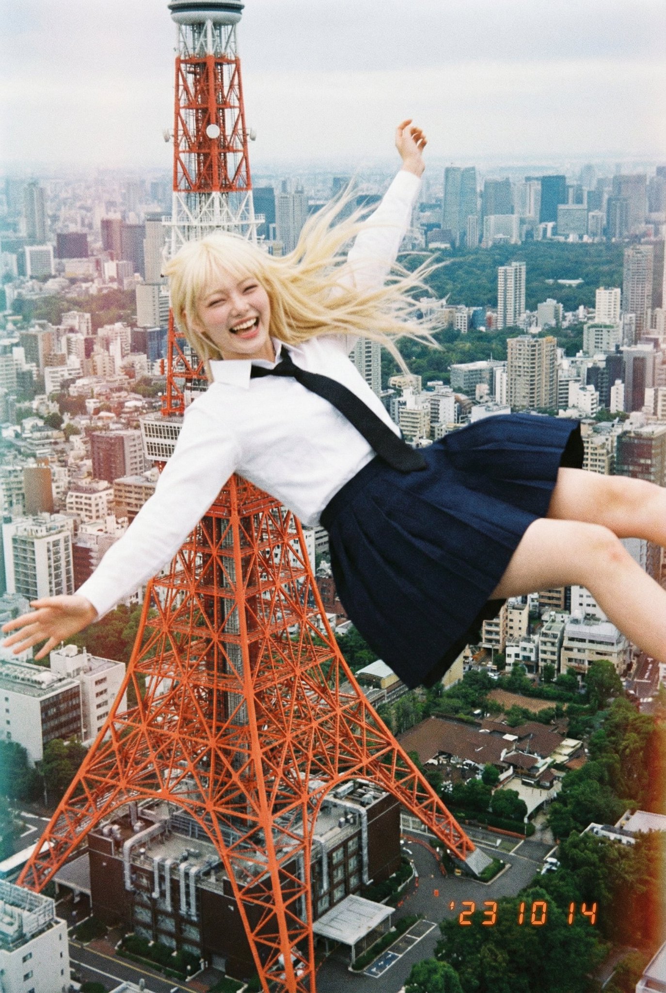
Create an aerial image that seamlessly blends with the sky above the location at latitude 35.658807120369914, longitude 139.74540071108495. Make the specified person appear as if they are falling from that location and merging into the image. A smiling, happy-looking person. An ordinary daily photo taken with a low-resolution disposable camera. A rough photo taken by a Japanese high school student.
创建一张与纬度 35.658807120369914, 139.74540071108495 所在位置上空天空融为一体的航拍图像。使指定的人物看起来像是从该位置落下一样融入图像中。一个面带微笑、看起来很快乐的人。一张用低分辨率一次性相机拍摄的普通日常照片。一张由日本高中生拍摄的粗糙照片。
위도 35.658807120369914, 경도 139.74540071108495 위치의 하늘과 자연스럽게 어우러지는 항공 이미지를 생성하세요. 지정된 인물이 그 위치에서 떨어지며 이미지에 녹아드는 것처럼 보이게 하세요. 웃고 있는 행복한 표정의 사람. 저해상도 일회용 카메라로 찍은 평범한 일상 사진. 일본 고등학생이 찍은 거친 사진.